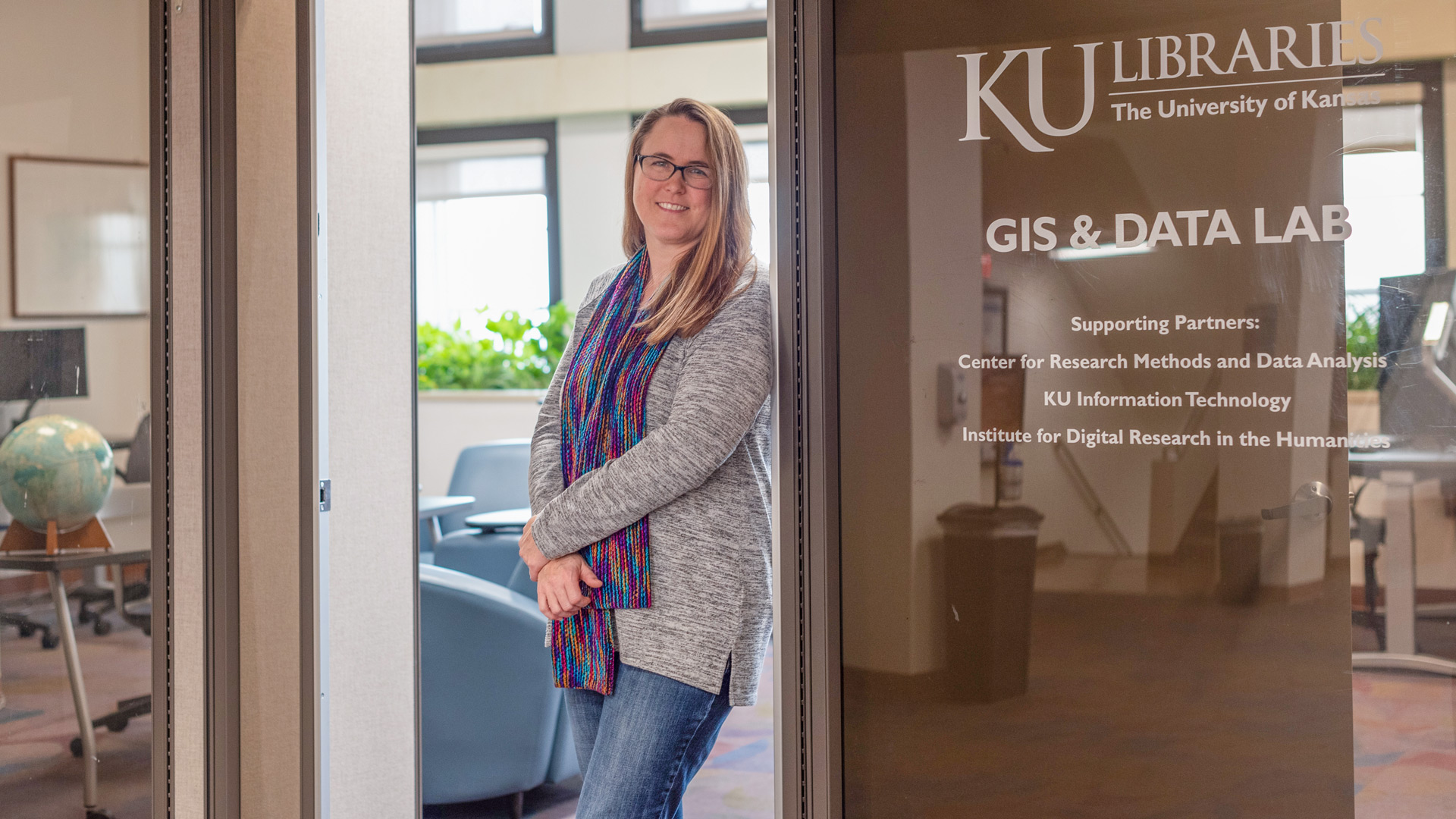
BiblioBios: April Friedl using professional GIS experience to help users add spatial context to data
What do KU basketball forward Jalen Wilson’s shot chart, a COVID-19 outbreak dashboard, Snapchat’s Snap Map and Douglas County’s interactive property viewer have in common? They all utilize some sort of geographic information system (GIS) – a spatial system that creates, manages, analyzes, and maps all types of data – to highlight the intersection of data and location.
“If your data has a location component, we can map it,” said April Friedl, KU Libraries’ senior GIS analyst. “A lot of people don’t realize that I’m here to help everyone on the KU campus – professors, students, researchers – with their GIS needs.”
Friedl, who joined KU Libraries last fall, brings a wide range of experience in GIS, data management, cartography, programming, and spatial analysis to the services provided in Watson Library, specifically the GIS & Data Lab on the fourth floor. KU Libraries support mapping and geographic information systems (GIS) for teaching, learning, and research.
Before coming to the KU, Friedl worked for more than 20 years in government, most recently as a GIS administrator and developer for Wyandotte County and the City of Kansas City, Kan., where she carried out a multitude of tasks, including project management, database development, programming, and GIS enterprise system administration. She has also worked in multiple roles relating to GIS for the City of Shawnee, Kan., and as a GIS intern with the City of Kansas City, Mo.
Friedl has previous work experience in higher education as a GIS teaching assistant at Kansas State University, where she finished her dual Bachelor of Science degree in geography and physical science.
A certified GIS Professional from the GIS Certification Institute, Friedl was looking for an interesting job, and she found one at KU, where she fell in love with the campus and the people.
“KU Libraries has been great. Everyone has made me feel so welcome. Even when chatting with other people on KU campus, it sounds like maybe I hit the jackpot because they said KU Libraries is one of the best places to work on campus.”
Friedl says she loves helping students and staff unfamiliar with GIS and will be offering workshops on GIS software skills in the future. GIS is interdisciplinary, and Friedl has helped faculty, staff and students from multiple fields with various projects ranging from standard cartography and GIS data development to ArcGIS Storymap workshops.
More information on GIS resources are available in this link. You can also contact April Friedl for GIS assistance at april.friedl@ku.edu.
BiblioBios shine a light on the people behind the collections, programs and services in KU Libraries. Find your link to important information and resources by connecting with our faculty and staff through the KU Libraries Directory.